Google Traffic is a free service available in 50 countries, 365 days a year, 24 hours a day. Google analyzes GPS-determined locations that are transmitted by numerous smartphone’s Google Maps users. By calculating the speed of users along a route, Google can generate a real-time traffic Google Map.
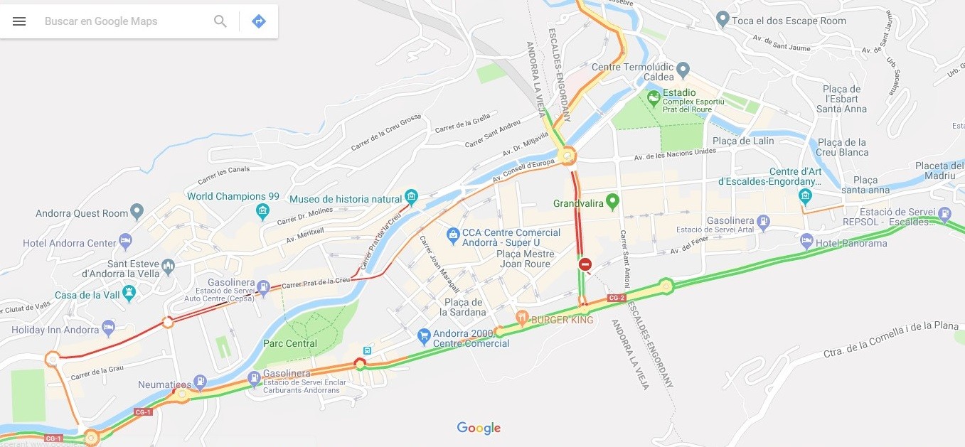
The meaning of coloured lines
Coloured lines represent traffic conditions on streets and highways, and refer to roads’ speed limits. Red lines on the map indicate traffic is moving under 40km/h, and may also indicate an accident or congestion on this route. Yellow lines indicate traffic is moving faster, (40 to 80km/h), and green lines indicate speed above 80km/h. Grey lines indicate no traffic information available at the moment, and red-black lines indicate extremely slow or stopped traffic.
Traffic conditions in urban areas
Speed of traffic in cities are much lower than those on highways, so colours have a relative meaning. In this case, red (or red-black) lines show a great general congestion, while yellow colour means that traffic is more fluid. Finally, green colour indicates good traffic conditions.